

Most people think of Monash as a city of tree-lined suburbs, prestigious schools and bustling shopping centres.
Few realise that beneath this modern landscape lies an ancient network of waterways that has quietly shaped the municipality for thousands of years.
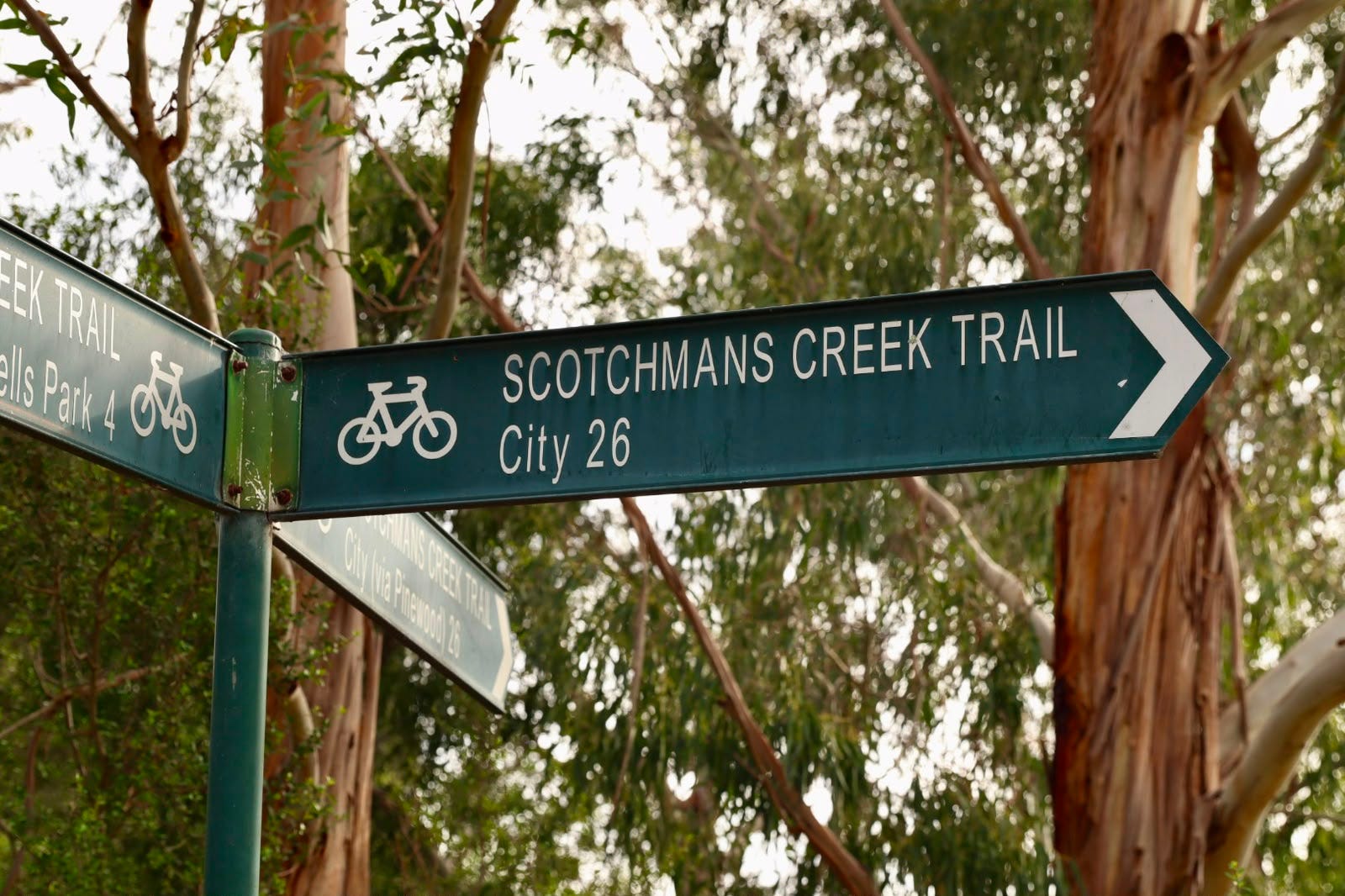
Photo: Izy Rajapakshe | Monash Herald
From the broad floodplains of Dandenong Creek to the winding banks of Scotchmans Creek, Damper Creek and Gardiners Creek (KooyongKoot), these waterways existed long before Springvale Road, the Monash Freeway or even Glen Waverley itself. Together, they became the natural blueprint upon which the municipality was built.
For the Traditional Owners, the Boon Wurrung and Woi Wurrung peoples of the Eastern Kulin Nation, these were not simply creeks. They were places of food, travel, gathering and cultural significance, supporting life for countless generations before European settlement.
When European settlers arrived during the 1830s and 1840s, they followed the same water.
Farms, orchards and early settlements emerged beside reliable creek systems, where fertile soils and permanent water made agriculture possible. Even the names of several waterways reflect Monash’s earliest colonial history. Damper Creek takes its name from timber miller J. Damper, while Scotchmans Creek is believed to reference Scottish pastoralist John McMillan and the nearby Scotchmans Creek Run established in the 1840s.
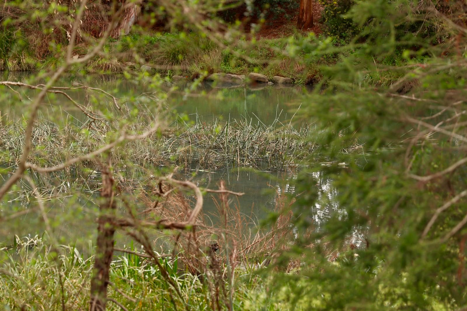
Photo: Izy Rajapakshe | Monash Herald
But as Melbourne expanded, the relationship between the city and its waterways changed. Wetlands were drained. Creeks were straightened. Some disappeared into underground pipes, while others were lined with concrete to reduce flooding and make way for housing estates, roads and industry. Large sections of the once-sprawling Dandenong Creek floodplain were transformed as suburban Monash took shape. Yet despite decades of urbanisation, the waterways continue to perform work that few residents ever see.
They reduce flood risk during major rain events, cool surrounding suburbs during summer, provide habitat for native birds, frogs and reptiles, and form green corridors linking parks across the municipality. Popular trails such as the Dandenong Creek Trail and Scotchmans Creek Trail have also become some of Melbourne’s most valued walking and cycling routes, connecting communities through landscapes that existed long before the suburbs around them.
Ironically, some of Monash’s most important natural assets are also among its most vulnerable.
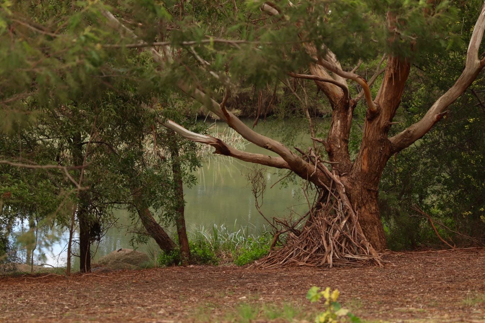
Photo: Izy Rajapakshe | Monash Herald
The City of Monash identifies Gardiners Creek and Dandenong Creek as waterways of high regional significance. Despite that status, both are considered to be in poor ecological condition due to decades of urban runoff, altered creek channels and the loss of native vegetation. Community groups, Melbourne Water and local councils are now working together to restore sections of these waterways through revegetation, biodiversity projects and improved water management.
Perhaps that is why Monash’s waterways deserve a second look.
They are more than drainage channels or places to walk the dog. They are living reminders of the landscape that existed before the municipality itself—natural corridors that have quietly witnessed Indigenous history, early settlement, suburban expansion and the transformation of Monash into one of Melbourne’s most successful municipalities.
The next time you cross the bridge on Springvale Road, cycle along Scotchmans Creek or pause beside the winding banks of Damper Creek, remember this:
The roads may have built modern Monash.
But it was the water that built everything else.